September 2017: Up Here Magazine
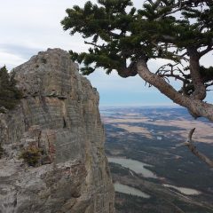
The Mackenzie River stretches more than 1,700 kilometres and drains a 1.8-million-square-kilometre swath of land—a fifth of the country. It’s Canada’s largest watershed and the tenth largest in the world, and its main stem and tributaries form the natural highways that connect communities. They are the lifeblood of ecosystems that support people and wildlife throughout the North.
Dubbed the Cold Amazon, the largely intact Mackenzie watershed also helps to regulate Earth’s climate—as both a giant storehouse for carbon and a refrigerator through alternating seasons of ice cover and flowing water. Changes in the watershed affect the entire planet, and the people who live here say many climatic changes have already begun, including melting permafrost that triggers landslides and releases carbon from the previously frozen soil.
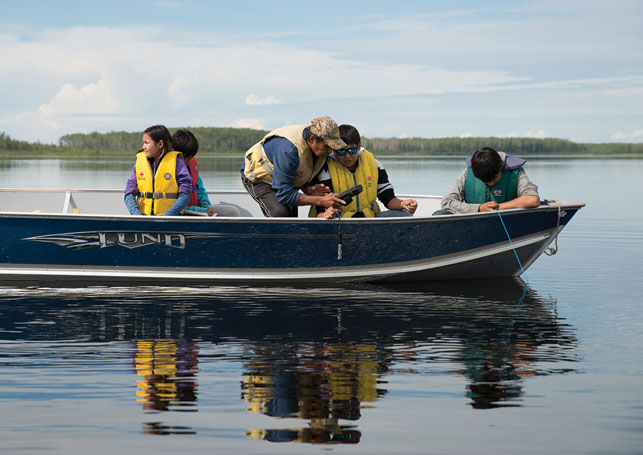
For the last century, a patchwork of land-use and management policies have been passed by towns, territories and provinces that often fail to account for the vast watershed’s interconnected features. Water used by British Columbia’s Peace Region’s hydroelectric dams and oil and gas projects, and Alberta’s oil sands, flows north through communities in the Northwest Territories, and eventually spills out across the Mackenzie Delta and into the Arctic Ocean. What happens upstream has major implications for those living downstream.
